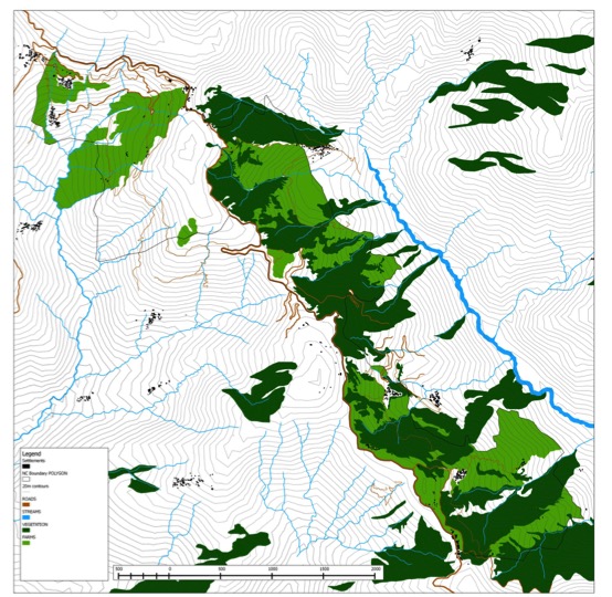
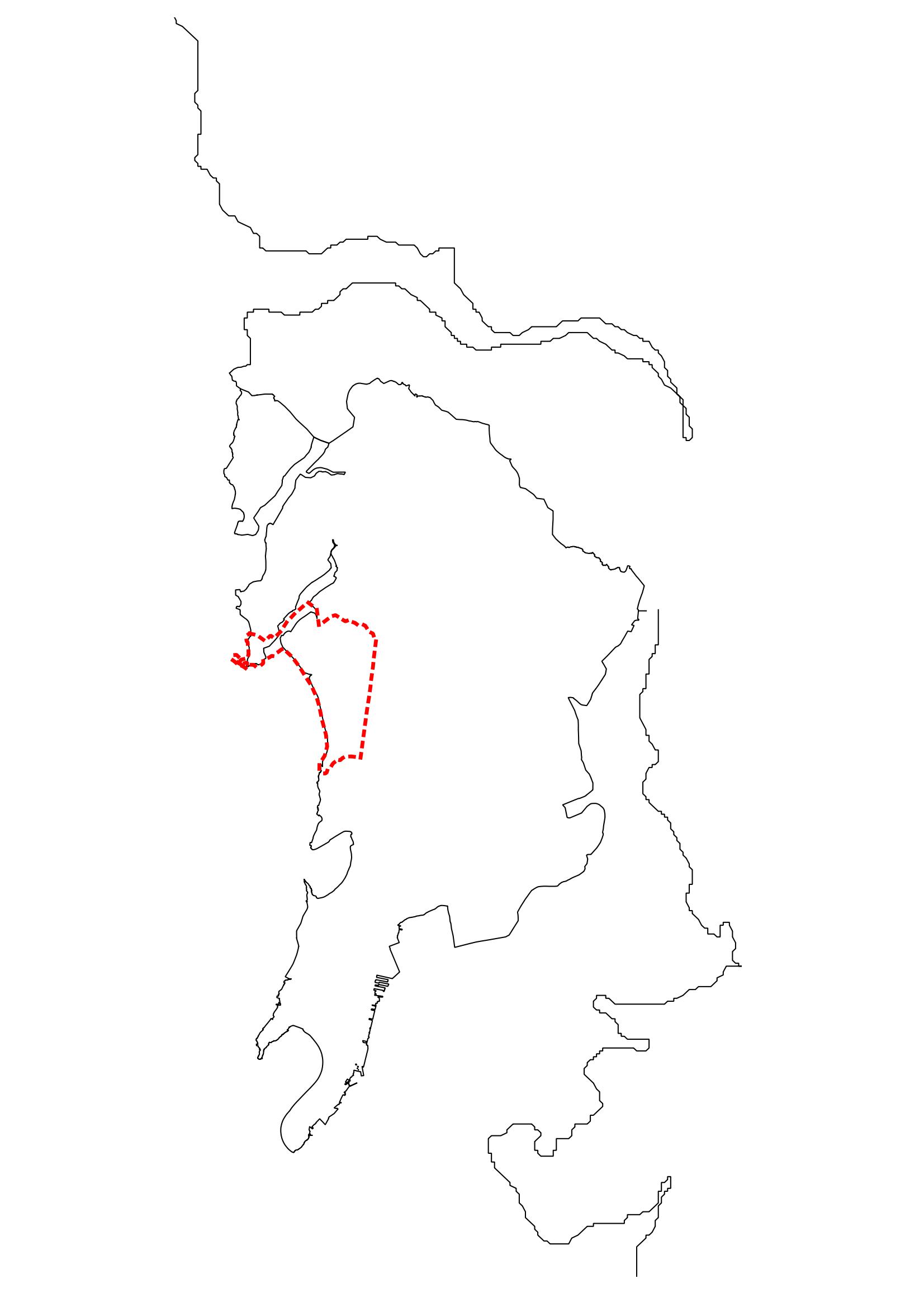
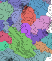
Geographical Information Systems
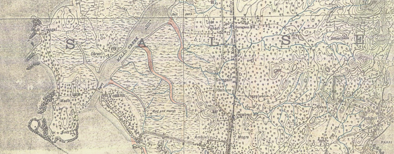
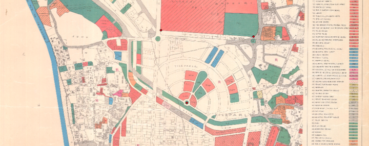
Image courtesy of Abhijit Ekbote (A Geo-referenced map of Mumbai suburb surveyed in 1924)
Instructor(s) Abhijit Akbote
As Taught in Winter 2016 (November to March) & Monsoon 2017 (June to October)
Level Master of Urban Design & 5th Year undergraduate GIS Elective
Type Lecture and practice
Primary intent of the course is to understand the basic principles of Geographical Systems and its areas of applications in the field of Urban Studies. The course on GIS (Geographic Information System) for students of masters in urban design and urban conservation aims to look at a specific method of making maps through the designing of data structure, recording the set of information through remote sensing and on-site documentation and retrieving the same in the form of maps and inferences.